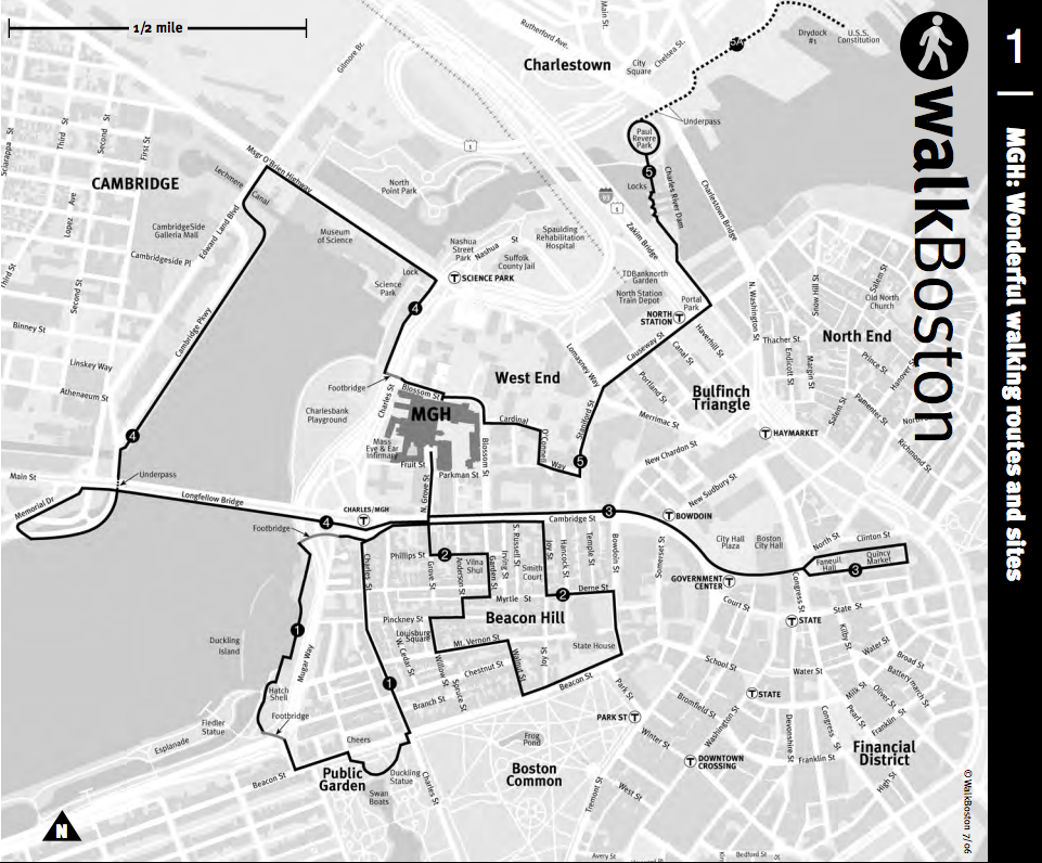
Boston: Convention Centers Walking Map – Steps to the Heart of Boston
Boston is not only a historic city but also a very walkable one. Many sites that were significant in the development of Massachusetts and the nation, along with well-known neighborhoods and modern landmarks, lie between Boston’s main convention centers — Boston Common, Beacon Hill, the Public Garden, the State House, Chinatown, Back Bay, Copley Square, Filene’s Basement [the original], Hancock and Prudential Towers, Newbury Street shopping, residential lofts in Bay Village and the Fort Point Channel District. The Boston Convention & Exhibition Center [BCEC] and the Hynes Convention Center [Hynes] are close to the City’s best sights. With only a few minutes’ walk you’ll experience the character of Boston.

Click for “WalkBoston Conventional Centers Walking Map” on Google Maps