Category: Announcement

WalkMassachusetts & CultureHouse Peer Learning Workshop

WalkMassachusetts & CultureHouse Peer Learning Workshop

On December 1st, WalkMassachusetts and CultureHouse staff came together for professional development and peer-learning opportunities at the Cambridge Innovation Center. Both organizations are funded by the Barr Foundation Mobility Grantees, focusing on improving communities through their unique lenses. CultureHouse transforms and reactivates underutilized spaces into vibrant social infrastructure, while WalkMassachusetts makes walking safer and easier in Massachusetts to encourage better health, a cleaner environment, and more vibrant communities.

The event was a great opportunity for the two organizations to learn from each other and share key techniques to move their respective work forward. In this shared space, both teams had an opportunity to give an overview of their organization and field of work. Time was dedicated during this gathering to deepen our understanding of key intersections of CultureHouse’s scope of work, specifically social cohesion, community engagement methods, participatory community planning, public spaces, civic infrastructure, and much more.

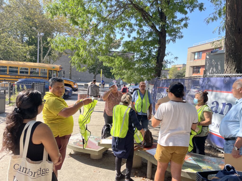
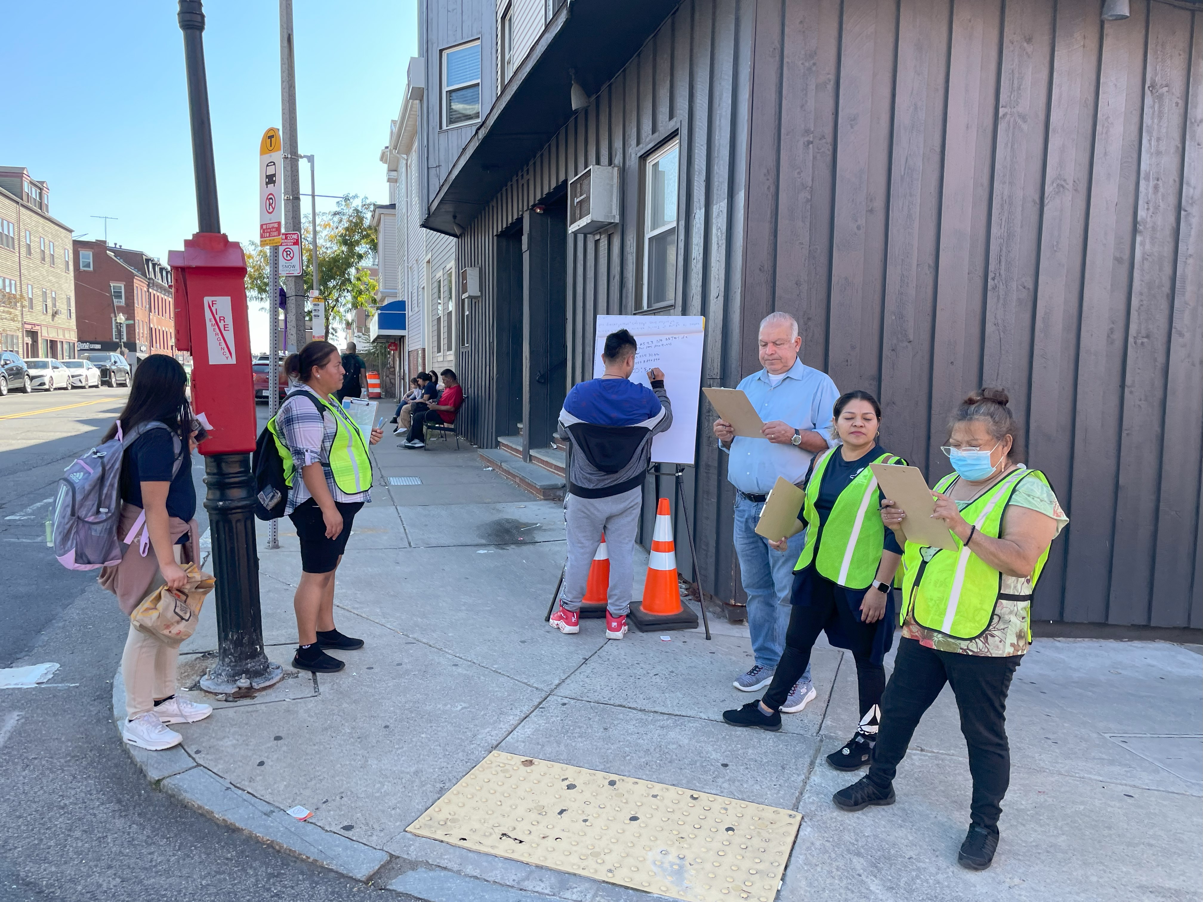
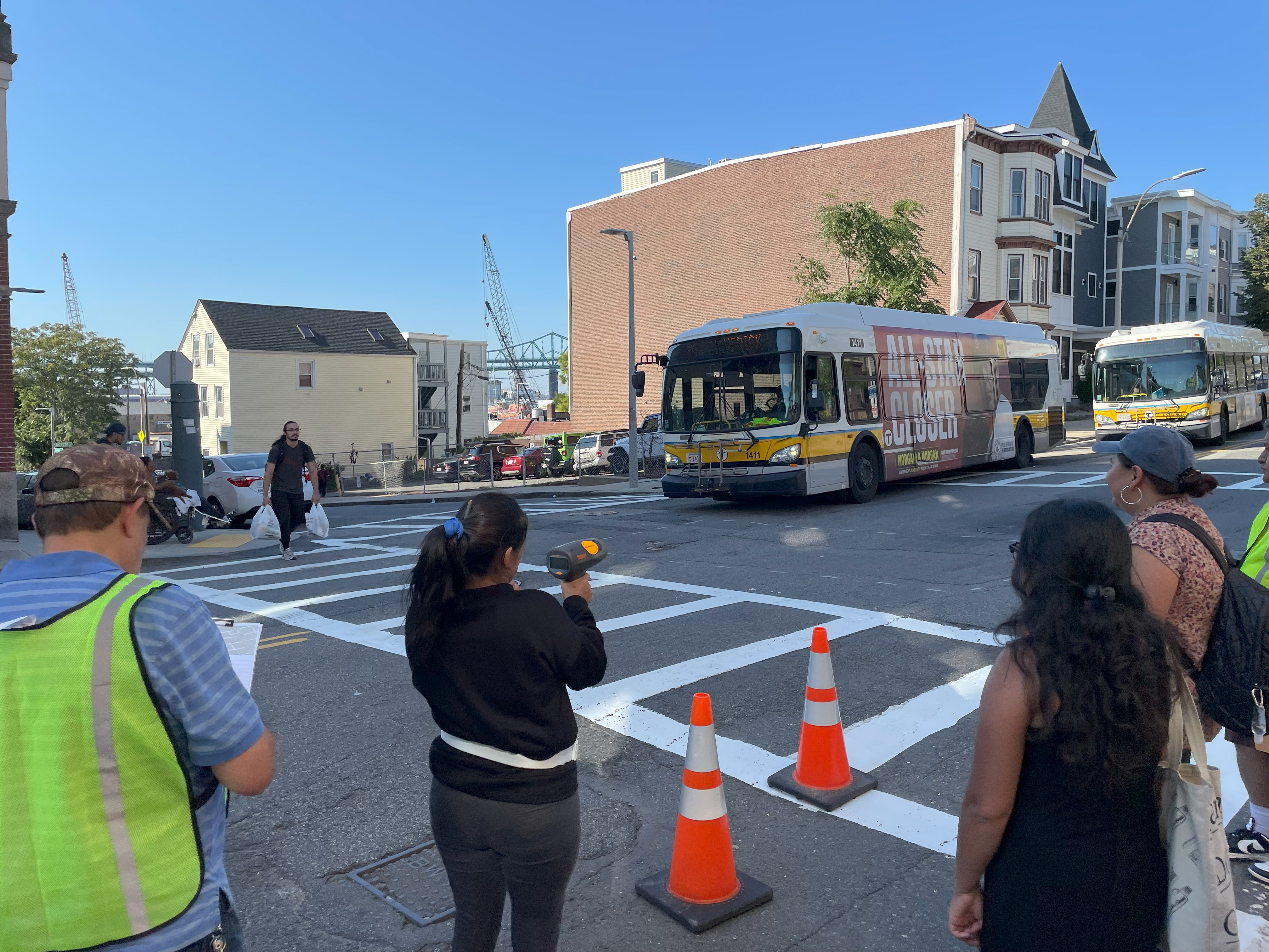
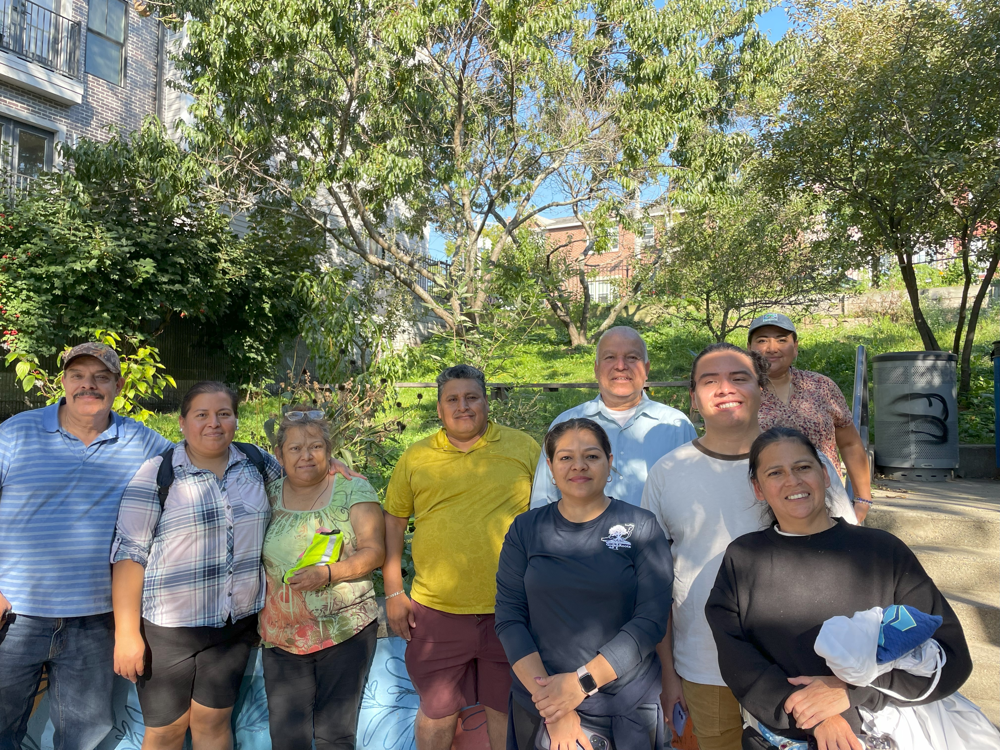
Topics of conversation included how inclusive community spaces can compel pedestrians to visit downtown areas, fostering the desire to walk and increase walkability. Additionally, it was discussed how pop-up community spaces can serve as a vector for community engagement and facilitate civic engagement. Both teams identified key overlaps and discussed how to best support each other as they think about their respective work in environmental justice communities, each with their own unique needs. Both organizations are actively pursuing partnerships with communities across the Commonwealth, particularly beyond Greater Boston.

This convening served both organizations as a great model for professional development and networking. WalkMassachusetts appreciated this opportunity and seeks to continue partnering with other Barr Foundation grantees within the Transit Justice ecosystem to learn and share key information and insights.

CultureHouse has participated in one of WalkMassachusetts’ statewide networking meetings to share its approach to impacting social infrastructure (watch the October Network Meeting). WalkMassachusetts is excited to attend one of CultureHouse’s upcoming Community pop-ups in January 2024 at Union Square in Somerville. Both organizations have committed to continue to develop synergies, sharing opportunities to join future walk audits and other reciprocal endeavors.

The Hack Day was a great success, and both organizations are looking forward to reconnecting again soon. It was a great opportunity for both organizations to learn from each other and share their experiences. WalkMassachusetts hopes to continue partnering with other organizations to improve walkability in communities across Massachusetts.

You can find more information on CultureHouse at culturehouse.cc

RSVP for Springfield Walk Audit Academy Community Report Out – November 9 (5-7pm)

RSVP for Springfield Walk Audit Academy Community Report Out – November 9 (5-7pm)

Please join us on November 9th 5-7pm to hear about the “Walk Audit Academy – Springfield” effort and what participants found during their walk audits in Fall 2023. Food will be provided.

This project was led by WalkMassachusetts and sponsored by AARP as part of a Community Challenge Grant.

As part of the evening, we’ll highlight a little about each of the group’s walk audits. There will be a group presentation shared that night. Each group will send a few updates in advance – similar to the info we talked about during the Zoom sessions throughout the fall. (Group coordinators: we’ve sent an email with the details we’d like you to send in! Please let us know if you need it re-sent.)

Location
Neighborhood Resource Center, 437 Bay Street, Springfield

RSVP
Send an email to Jonny – jgp@dev.walkboston.org – if you will be attending.

Who is invited?
This event is open to anyone in the Springfield community (and beyond) that is interested in learning more about walk audits and safe streets efforts – just make sure to RSVP! Doing so will help us plan and ensure that we are able to provide enough food for all attendees. As you RSVP to Jonny, please let him know if you have any questions, a need for Spanish interpretation, or dietary restrictionsjgp@dev.walkboston.org

East Boston Demonstration Day with Caminatas Seguras

East Boston Demonstration Day with Caminatas Seguras

On October 3rd, the staff of WalkMassachusetts organized a demonstration day in East Boston with members of Caminatas Seguras, a walking group for residents that is convened and facilitated by GreenRoots, an environmental justice organization operating in Chelsea and East Boston. This demonstration day was a civic engagement opportunity for residents to make temporary improvements to the transportation infrastructure in their community. 

The goal of demonstration days was to offer residents and other stakeholders an opportunity to understand what type of transportation changes would best impact the experience for pedestrians and other road users. During the demonstration day, participants were able to convene at Our Garden (293 Border St.), a community garden managed by Eastie Farm and adjacent to the Mario Umana Academy, which hosts the East Boston Harborside Community Center. The meeting location abutted key corridors that run through East Boston that are heavily trafficked by pedestrians, cyclists, and motorists. 

Members of Caminatas Seguras connected with WalkMassachusetts staff to identify and plan interventions at key intersections along Meridian Street. The participants identified the intersections of Lexington and Meridian Streets along with Eutaw Street and Meridian Street on Eagle Hill due to their frequent use by young people and families to access the schools in the area, such as the Umana Academy and O’Donnell Elementary School.

Caminatas participants gather at Our Garden near the Mario Umana Academy in East Boston.

The interventions were conducted along the two intersections, and members of Caminatas Seguras made observations and collected data at both locations. In their data collection, they counted the number of road users, which included pedestrians, vehicles, and bikers traveling through the area. Participants also collected the speed of vehicles moving through their intersections using a handheld radar speed detector. Additionally, participants engaged passerby and held conversations with individuals moving through the area to collect feedback on the road user experience.

These conversations were particularly illuminating as this demonstration day came in the wake of a community meeting of the proposed vision for East Boston, which is articulated in PLAN: East Boston. The PLAN presents recommendations for rezoning in the neighborhood, which could impact the design of the public realm. The demonstration day provided participants with the opportunity to engage their neighbors and bring awareness to the release of the initial draft, which was generated by the Boston Planning and Development Agency (BPDA). Participants used this demonstration day to solicit feedback and encourage residents to share their opinions during the feedback period, which is open until October 27th, 2023. 

Camintas Seguras participants encourage passing neighbors to share thoughts on how to make Meridian Street safer for all.

One of the implemented interventions included a simulated curb extension to the existing intersection of Eutaw Street and Meridian Street. The participants used traffic cones and high-visibility vests while conducting their demonstrations and making observations. The objective of this intervention was to decrease the length needed for pedestrians to cross the intersection.

Demonstration day participants simulate a curb extension through the use of high visibility cones.

The demonstration day proved to be successful as participants identified some of the key challenges that are found along the short section of Meridian Street where interventions were implemented and data was collected. Using pedestrian experiences as qualitative data within the public realm proves to be an effective tool to shape neighborhoods as they undergo change. Camintas Seguras participants hope to use this experience to continue to bring awareness to the pedestrian hazards that are in the built environment. This experience for participants and neighbors demonstrates that with collective organizing and data collection, feedback can be generated to transform streets like Meridian Street and make them safer for all. Caminatas Seguras will continue to work with WalkMassachusetts to advocate for key transportation changes and to share their insights with local decision-makers.

Camintas Seguras participants share a photo at the end of the demonstration day in East Boston.

This demonstration day is part of a larger program called Connecting Kids and Families to Parks and Open Spaces which is funded by Boston Children’s Hospital and in partnership with GreenRoots. Thank you for your support!

2023 MassDOT Moving Together Conference

2023 MassDOT Moving Together Conference

Last week WalkMassachusetts had the opportunity to attend and table at MassDOT’s Moving Together Conference. It was wonderful to once again join colleagues who are as passionate about the possibilities of active and public transportation as our staff is. Walking, alongside bicycling and public transport, encourages better health, a cleaner environment, and more vibrant communities in Massachusetts.

Brendan, Althea, Iolando, and Jonny attended workshops and panels, networked with fellow transportation advocates, and shared about WalkMassachusetts’ work while tabling. 

WalkMassachusetts team at Moving Together. Left to right: Brendan, Jonny, Althea, and Iolando.


Althea and Brendan presented on the WalkMassachusetts rebrand and our continued statewide growth at the Pedestrian Safety and Equity in the Commonwealth and Across State Lines panel. They were joined by panelists from the Central Massachusetts Regional Planning Commission and VHB to discuss pedestrian issues and opportunities in both Massachusetts and Rhode Island. Speakers for the conference included Lieutenant Governor Kim Driscoll as well as new Acting Secretary and CEO of MassDOT Monica Tibbits-Nutt. 

Slideshow presentations from our Pedestrian Safety panel as well as many others will soon be uploaded to the Moving Together Conference website, so if you weren’t able to join us keep an eye out. Additional panel topics included talks on climate resiliency, multimodal infrastructure, equity initiatives in the Gateway Cities, and much more.

Thanks to MassDOT and the UMass Transportation Center for once again bringing us all together and hosting a wonderful conference!

Acting Secretary and CEO of the Massachusetts Department of Transportation (MassDOT) Monica Tibbits-Nutt giving the Keynote address.
Statewide Fatal Crashes In MA, July 2023

Statewide Fatal Crashes In MA, July 2023

Each month, we post about the fatal crashes in Massachusetts from the previous month, and share any trends that we see. For the full list of monthly posts, head here.

Last month, we took a look at crashes listed in the MassDOT Crash Portal in June; three were identified as people walking. In this post, we’ll look at crashes in MA in July 2023. The information in the chart below is compiled from news reports, and was checked against the MassDOT Crash Portal Dashboard “Fatal Crash Information.” Any Google Street View images included below use the address listed in the crash portal.

  • Of the 32 fatal crashes in Massachusetts in July in the MassDOT Crash portal, 3 were identified as people walking.
  • The average age of pedestrians hit & killed in July was 60.
  • At least 1 was a hit and run, where the driver left the scene after striking someone.

Date7/1/2023, 5:06 PM
Location3 Bartlett St.
TownMerrimac
TypePEDESTRIAN
Age93
SexM

The Boston Herald reports that 93-year old Robert Whitcomb was struck and killed by a juvenile driving a vehicle near Robert’s residence on Bartlett Street. Robert may have been on a tricycle when he was struck. (This crash may be re-categorized in the future, but is currently listed pedestrian crash in the database.)

According to the MassDOT Road Inventory, Bartlett Street is under local jurisdiction. It is two-way street with no sidewalks. The speed limit is unclear, as it is not listed and not viewable nearby on street view. The default speed limit in Merrimac is 30mph. Communities in Massachusetts can opt-in to a 25mph default speed limit and create 20mph Safety Zones.

Bartlett Street does not have a Google Street View image available, but the nearby intersection of Broad/Mill/Bartlett shows a “slow” sign at the start of Bartlett Street.


Date7/18/2023, 9:30 PM
Location165 Wood Ave.
TownBoston
TypePEDESTRIAN
Age4
SexM

The Boston Globe reports 4-year old Ivan Pierre was struck and killed on Wood Avenue in Boston’s Hyde Park neighborhood near his family’s home. The driver, Olguens Joseph, left the scene after striking Ivan; he turned himself in almost two weeks later. From the article:

Boston police released a video of the car that allegedly struck and killed Ivan Pierre. The nine-second video shows the vehicle running a stop sign at the corner of Wood Avenue and Safford Street in the moments before Pierre was killed near his family’s home. The intersection is less than 500 feet from the house.

According to the MassDOT Road Inventory, Wood Avenue is under local jurisdiction. It is a two way street, with 1 travel lane in each direction. There is a sidewalk on each side. The speed limit is 25mph.
There have been 2 other fatal crashes near that crash site on Wood Avenue in Hyde Park. On April 9, 2017 was a fatal motorcycle crash at the corner of Wood/Mariposa; and on August 11, 2020 there was a fatal vehicle crash. Since the crash in 2017, the Boston Transportation Department has implemented a number of street design changes to try and control speed and vehicle movement at wide intersections along the corridor (like Wood/Tacoma, Wood/Farrar, Wood/Mariposa), including flex posts and paint to force drivers to slow down when taking turns or navigating curves on the hilly roadway. There aren’t many crosswalks to get across Wood; this is likely due to poor sight lines with the street’s curves and hilly terrain.
Earlier this year, the City of Boston published a speed hump eligibility map as part of a safety surge effort.
Wood Avenue is not indicated as a street that qualifies for speed humps, but a number of the side streets are eligible for a future phase. It is possible that neighborhood arterials have not been listed on this general map when considering all roadways in the city in order to allow for a potential quicker rollout in order to strike a balance between implementing traffic calming and not impact any operations of MBTA bus routes or fire/emergency operations; it is also possible speed humps on arterials instead could be implemented on a case-by-case basis. Creating safer/slower streets could make it so fire/emergency responders would not need to respond to as many traffic crashes.


Date7/23/2023, 3:50 PM
LocationMcGrath Hwy. + Newcomb St.
TownQuincy
TypePEDESTRIAN
Age83
SexM

The Patriot Ledger reports that a pedestrian was hit by a car and suffered life-threatening injuries. The MassDOT crash portal dataset indicates that an 83-year old man died.

A damaged silver sedan was at the intersection, Patriot Ledger media partner WCVB reported. Vegetables from a bag were strewn on the road where the pedestrian was hit.

Quincy police said the driver stayed at the scene. It is unclear whether charges will be filed.

The victim’s name will not be released, police said.

According to the MassDOT Road Inventory, Newcomb Street and McGrath Highway are both under local jurisdiction. Newcomb Street is a two way street with one lane in each direction. There is a sidewalk on each side. McGrath Highway is a divided two-way street, with two lanes in each direction. There is a sidewalk on each side. There is a crosswalk with RRFB flashers. The speed limit for each street is unclear, as they are both listed as 99 and there are no speed limit signs viewable nearby on Google Street View.


Updates

If you have an update about a community member who was killed in one of these crashes, please contact Brendan so we can update our 2023 list. WalkBoston has maintained a list each year since 2016, pulling the information from news reports, social media, and from people like you that share the information with us.

Yearly trackers:  |  ||||| 2022 | 2023

Report: Fatal Pedestrian Crashes in MA (2021)
Report: Fatal Pedestrian Crashes in MA (2022)


Reminder about the data from the MassDOT portal

MassDOT makes no representation as to the accuracy, adequacy, reliability, availability or completeness of the crash records or the data collected from them and is not responsible for any errors or omissions in such records or data. Under no circumstance will MassDOT have any liability for any loss or damage incurred by any party as a result of the use of the crash records or the data collected from them. Furthermore, the data contained in the web-based crash report tool are not an official record of what transpired in a particular crash or for a particular crash type. If a user is interested in an official copy of a crash report, contact the Registry (http://www.mass.gov/rmv/). The City of Boston Police Department may be contacted directly for official copies of crash reports and for crash data pertaining to the City of Boston. In addition, any crash records or data provided for the years after 2018 are subject to change at any time and are not to be considered up-to-date or complete. As such, open years’ of crash data are for informational purposes only and should not be used for analysis. The data posted on this website, including crash records and other reports, are collected for the purpose of identifying, evaluating or planning the safety enhancement of potential crash sites, hazardous roadway conditions or railway-highway crossings. Under federal law, this information is not subject to discovery and cannot be admitted into evidence in any federal or state court proceeding or considered for other purposes in any action for damages that involves the sites mentioned in these records (see 23 USC, Section 409).